
SIMPLE
Penobscot and Kennebec Rivers map Item Info
- Title:
- Penobscot and Kennebec Rivers map
- Date Created:
- 1900/1930
- Time Period:
- 20th century
- Description:
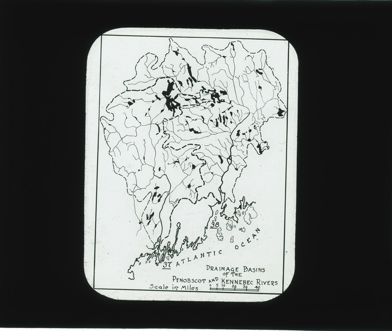
- Penobscot and Kennebec Rivers--map showing drainage basins.
- Subject (Topic):
- Landscape architecture
- Location:
- Maine--Penobscot River Maine--Kennebec River
- Language:
- zxx
- Source:
- Warren H. Manning papers
- Call Number:
- MS 218
- Finding Aid Permalink:
- https://n2t.net/ark:/87292/w9z76p
- Contributing Institution:
- Iowa State University. Special Collections and University Archives
- Publisher:
- Iowa State University. Library
- Extent:
- 10.2x8.3 cm
- Medium:
- lantern slides
- Genre:
- photographs
- Type:
- Image
- Format:
- image/jpeg
- Digital Collection Title:
- Warren H. Manning collection
- Digital Collection Permalink:
- https://n2t.net/ark:/87292/w92804z4t
- Identifier:
- manningwarren6686
- Filename:
- 0218_manning_ls_1869.jpg
- Item Permalink:
- https://n2t.net/ark:/87292/w99j10
The Iowa State University Library is committed to creating a welcoming digital environment for all learners. Certain material, particularly older materials, handwritten documents, and visual content, present unique challenges in providing more accessible resources. Please contact us if you need support accessing or using this archived content.
Contact us about this recordSource
- Preferred Citation:
- "Penobscot and Kennebec Rivers map", Warren H. Manning Collection, Iowa State University Library Digital Collections
- Reference Link:
- https://n2t.net/ark:/87292/w99j10
Rights
- Rights:
- The Iowa State University Library believes that this item is in the public domain under the laws of the United States, but a determination was not made as to its copyright status under the copyright laws of other countries. The item may not be in the public domain under the laws of other countries.
- Standardized Rights: