
SIMPLE
Map of street, bridge, and viaduct projects in Des Moines Item Info
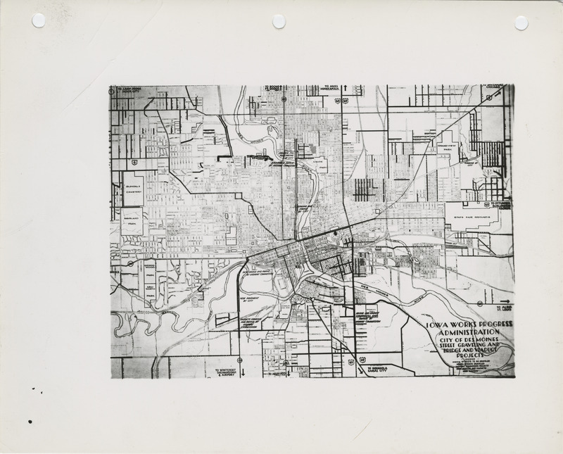
- Title:
- Map of street, bridge, and viaduct projects in Des Moines
- Creator (Organization):
- United States. Works Progress Administration (Iowa)
- Time Period:
- 1930s
- Subject (Topic):
- Streets--Maintenance and repair Viaducts Bridges
- Location:
- Iowa--Des Moines
- Language:
- eng;zxx
- Source:
- United States. Work Projects Administration (Iowa) Photographs
- Call Number:
- MS 260
- Archival Series:
- Series 1, Projects by Location, 1935-1938, undated (alphabetical)
- Box:
- 3
- Folder Title:
- District 4. Polk County. Des Moines. Maps of Des Moines Projects. (4 b/w photographs), undated
- Folder Number:
- 23
- Finding Aid Permalink:
- https://n2t.net/ark:/87292/w91v07
- Contributing Institution:
- Iowa State University. Special Collections and University Archives
- Publisher:
- Iowa State University. Library
- Extent:
- 1 map
- Medium:
- sheets (paper artifacts)
- Genre:
- city maps
- Type:
- Image
- Format:
- image/jpeg
- Digital Collection Title:
- Work Projects Administration (Iowa) photographs
- Digital Collection Permalink:
- https://n2t.net/ark:/87292/w9cz32b0t
- Identifier:
- wpab3f23i4
- Filename:
- ms0260b003f023i004.jpg
- Item Permalink:
- https://n2t.net/ark:/87292/w92j6897f
The Iowa State University Library is committed to creating a welcoming digital environment for all learners. Certain material, particularly older materials, handwritten documents, and visual content, present unique challenges in providing more accessible resources. Please contact us if you need support accessing or using this archived content.
Contact us about this recordSource
- Preferred Citation:
- "Map of street, bridge, and viaduct projects in Des Moines", Work Projects Administration (Iowa) Photographs, Iowa State University Library Digital Collections
- Reference Link:
- https://n2t.net/ark:/87292/w92j6897f
Rights
- Rights:
- The Iowa State University Library believes that this item is in the public domain under the laws of the United States, but a determination was not made as to its copyright status under the copyright laws of other countries. The item may not be in the public domain under the laws of other countries.
- Standardized Rights: