SIMPLE
Maps of Mills County Breeding Bird Atlas blocks Item Info
- Title:
- Maps of Mills County Breeding Bird Atlas blocks
- Creator (Organization):
- Breeding Bird Atlas Committee
- Description:
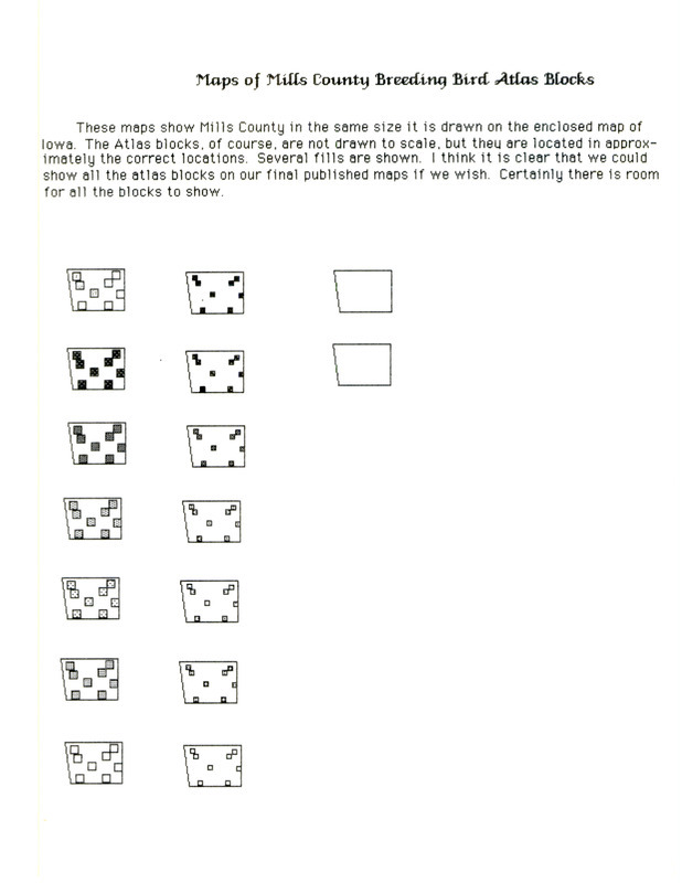
- Maps of Mills County Breeding Bird Atlas blocks includes hand drawn maps with locations of the atlas blocks shown in various stages of completion. The hand drawn maps are not drawn to scale.
- Subject (Topic):
- Birding sites Birds--Habitat Ornithology--Societies, etc.
- Subject (Organization):
- Iowa Ornithologists' Union
- Location:
- Mills County
- Latitude:
- 41.03345
- Longitude:
- -95.62133
- Language:
- eng
- Source:
- Iowa Ornithologists’ Union records
- Call Number:
- MS 166
- Box:
- 4
- Folder Number:
- 20
- Finding Aid Permalink:
- https://n2t.net/ark:/87292/w97v03
- Contributing Institution:
- Iowa State University. Special Collections and University Archives
- Publisher:
- Iowa State University. Library
- Extent:
- 1 page
- Genre:
- maps (documents) research notes
- Type:
- Text
- Format:
- image/jpeg
- Digital Collection Title:
- Iowa Ornithologists’ Union collection
- Digital Collection Permalink:
- https://n2t.net/ark:/87292/w9513tv8b
- Related Resource:
- Avian Archives of Iowa Online (avIAn)
- Avian Identifier:
- 84
- Identifier:
- iou24
- Filename:
- ms0166b004f020i0084.jpg
- Item Permalink:
- https://n2t.net/ark:/87292/w9dn3zw6v
Source
- Preferred Citation:
- "Maps of Mills County Breeding Bird Atlas blocks", Iowa Ornithologists' Union Collection, Iowa State University Library Digital Collections
- Reference Link:
- https://n2t.net/ark:/87292/w9dn3zw6v
Rights
- Rights:
- This item is protected by U.S. copyright and related rights. It is being made available by Iowa State University as its rights-holder for noncommercial use, including sharing and adapting the work. No permission is required for noncommercial use so long as attribution is provided. All other uses require permission from Special Collections and University Archives.
- Standardized Rights:

