
SIMPLE
Iowa State College campus map, 1949 Item Info
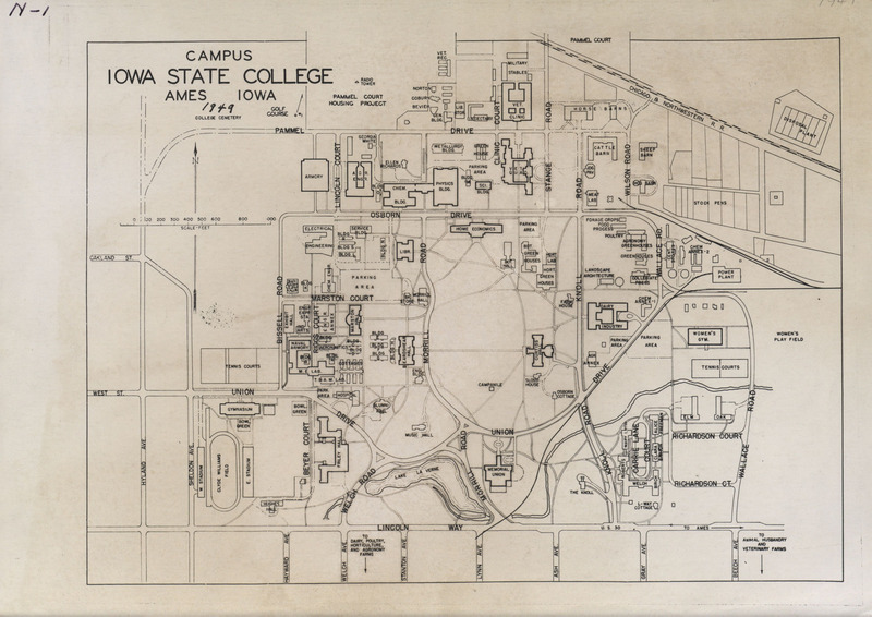
- Title:
- Iowa State College campus map, 1949
- Creator (Organization):
- Iowa State College
- Date Created:
- 1949
- Time Period:
- 1940s
- Description:
- Map of Iowa State College campus in Ames, Iowa from 1949.
- Subject (Topic):
- College campuses
- Location:
- Iowa--Ames
- Latitude:
- 42.03471
- Longitude:
- -93.61994
- Language:
- eng
- Source:
- Iowa State University. Facilities Planning and Management records
- Call Number:
- RS 4/8
- Finding Aid Permalink:
- https://n2t.net/ark:/87292/w9cx82
- Contributing Institution:
- Iowa State University. Special Collections and University Archives
- Publisher:
- Iowa State University. Library
- Extent:
- 1 map
- Genre:
- maps (documents) cartographic materials
- Type:
- Image
- Format:
- image/jpeg
- Digital Collection Title:
- Iowa State University historical maps
- Digital Collection Permalink:
- https://n2t.net/ark:/87292/w96w96851
- Identifier:
- historicalmaps16
- Filename:
- rs4-8-0-7b001f002i002.jpg
- Item Permalink:
- https://n2t.net/ark:/87292/w9b27pq9s
The Iowa State University Library is committed to creating a welcoming digital environment for all learners. Certain material, particularly older materials, handwritten documents, and visual content, present unique challenges in providing more accessible resources. Please contact us if you need support accessing or using this archived content.
Contact us about this recordSource
- Preferred Citation:
- "Iowa State College campus map, 1949", Iowa State University Historical Maps, Iowa State University Library Digital Collections
- Reference Link:
- https://n2t.net/ark:/87292/w9b27pq9s
Rights
- Rights:
- This item is protected by U.S. copyright and related rights. It is being made available by Iowa State University as its rights-holder for noncommercial use, including sharing and adapting the work. No permission is required for noncommercial use so long as attribution is provided. All other uses require permission from Special Collections and University Archives.
- Standardized Rights: