
SIMPLE
New railroad map of the United States, the Dominion of Canada, Mexico, and the West Indies Item Info
- Title:
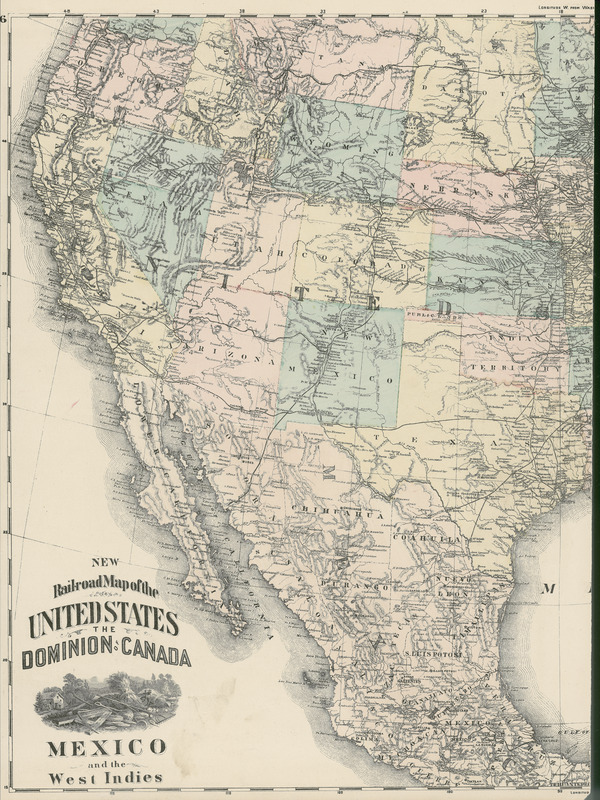
- New railroad map of the United States, the Dominion of Canada, Mexico, and the West Indies
- Description:
- Item from a collection of engravings, lithographs (some hand-colored), and photogravures depicting farmsteads and stock farms in Iowa circa 1871-1904. Prints in the collection originally appeared in such vintage atlases as A. T. Andreas's "Illustrated historical atlas of the state of Iowa" (1875), M. Huebinger's "Atlas of the state of Iowa" (1904), and other publications.
- Subject (Topic):
- Maps
- Location:
- United States Canada Mexico
- Language:
- eng
- Source:
- Iowa Farmstead Picture collection
- Call Number:
- MS 390
- Finding Aid Permalink:
- https://n2t.net/ark:/87292/w95x86
- Contributing Institution:
- Iowa State University. Special Collections and University Archives
- Publisher:
- Iowa State University. Library
- Genre:
- maps (documents)
- Type:
- Image
- Format:
- image/jpeg
- Digital Collection Title:
- Iowa farmstead picture collection
- Digital Collection Permalink:
- https://n2t.net/ark:/87292/w9st7dw8v
- Identifier:
- farmsteadpicturecollection6
- Filename:
- 0390_iowafarmsteadpicturecollection_0001-010-002.jpg
- Item Permalink:
- https://n2t.net/ark:/87292/w93c82
The Iowa State University Library is committed to creating a welcoming digital environment for all learners. Certain material, particularly older materials, handwritten documents, and visual content, present unique challenges in providing more accessible resources. Please contact us if you need support accessing or using this archived content.
Contact us about this recordSource
- Preferred Citation:
- "New railroad map of the United States, the Dominion of Canada, Mexico, and the West Indies", Iowa Farmstead Picture Collection, Iowa State University Library Digital Collections
- Reference Link:
- https://n2t.net/ark:/87292/w93c82
Rights
- Rights:
- The Iowa State University Library believes that this item is in the public domain under the laws of the United States, but a determination was not made as to its copyright status under the copyright laws of other countries. The item may not be in the public domain under the laws of other countries.
- Standardized Rights: